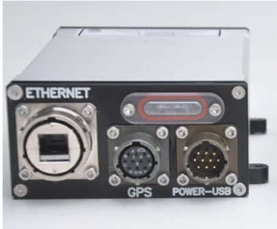
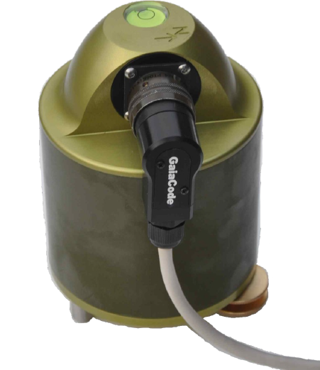
GaiaCode is proud to announce the completion and full operation of the most advanced borehole network for geophysical measurements in the world. As a major extension of an existing observation network of the North Anatolian Fault (NAF) we designed, manufactured and installed a unique three station borehole network around the Sea of Marmara in western Türkiye. The instrumentation is deployed in newly drilled wells at three locations (see map below). It allows simultaneous measurements of an array of parameters relevant to ground motion at each borehole location in one integrated data stream: Tilt, strain, dilatation, shaking and even the rock's pore pressure.
This unique combination of geophysical instruments into one single compact borehole tool opens completely new possibilities of extracting scientific information. The high-quality, low noise data streams allow for direct comparisons say between tilt, strain and ground motion. This is now possible without having to make multiple assumptions about wave propagation or geological properties at different locations.

Map showing the locations of the three multi-parameter borehole observatories (red crosses) around the western edge of the Sea of Marmara. Each of the borehole tools is deployed at approx. 100 m depth. The epicenter of a small earthquake of Ml=3.6 in western Türkiye on 16 Nov 25 is shown as a red circle.
We designed and developed the new multi-parameter geophysical borehole observatories under a contract with the Geoforschungszentrum (GFZ) in Potsdam, Germany. Not only did GaiaCode manufacture the instrumentation in-house in our facilities in Silchester (UK), we also installed the network as a turn-key system. The new network becomes an important part of the GONAF-Project, a joint research initiative by the GFZ and the Turkish Disaster and Emergency Management Presidency (AFAD). The acronym GONAF stands for “Geophysical Observatory at the North Anatolian Fault”.
Since the three station network began operating in early November 2025, it has performed beyond initial expectations with high-quality, low noise recordings. An example is shown in the picture below. It depicts the three component recordings of a magnitude Ml=3.6 earthquake in western Türkiye on 16 Nov 25 with the ALPHA ultra broadband sensors at each of the network stations.

Image of two minutes of recoding of a M=3.6 earthquake in western Türkiye by the three components of the ultra broadband ALPHA sensors of new geophysical borehole observatories. The traces in green represent the vertical, in red the N/S- and in blue the E/W- components of each sensor as recorded by GaiaCode's OMEGA software.
In addition to recording all kinds of earthquakes, the ultra broadband ALPHA borehole sensors are also capable of measuring extremely long period ground motions like the Earth tides. An example of a more than three day long continuous recording of the tides is show in the plot below. The twelve hour tidal signal is clearly seen, as are dozens of smaller regional and teleseismic events. The graph is dominated by a Mw=6.2 event on 2 Nov 25 near Mazār-e Sharīf, Afghanistan, in the center of the plot. To exploit the full bandwidth of the ALPHA sensors from 300 Hz to 300 sec, the datastream was recorded at 500 samples per sec.